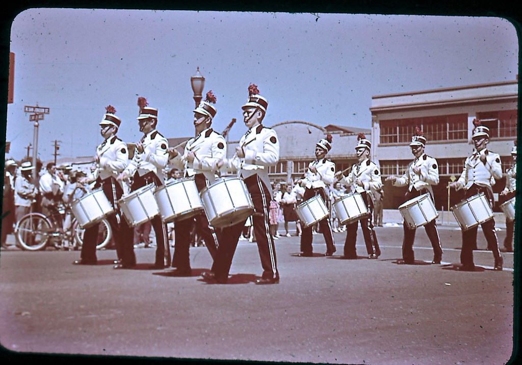
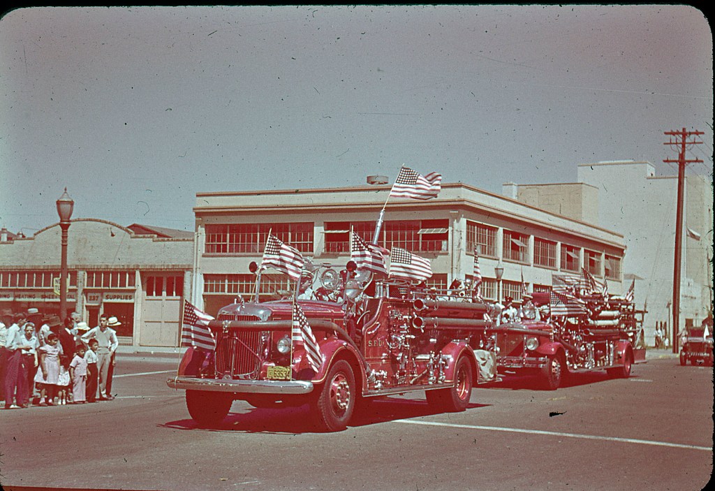
Just like with the other Ansco Color Slides, we have other B&W negatives to identify the date. In this case, the parade is most likely in 1947, but could be as early as 1946, basing the earlier year on the presence of Honor Guards, a strong indicator of post-WWII pride.
I’ll discuss the intro image in detail at the bottom of this blog. Keep reading as there’s a lot to unpack today.
The colors on these slides have equally faded over the last 75 years, but there’s enough information to figure out most locations.
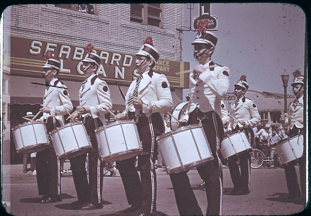
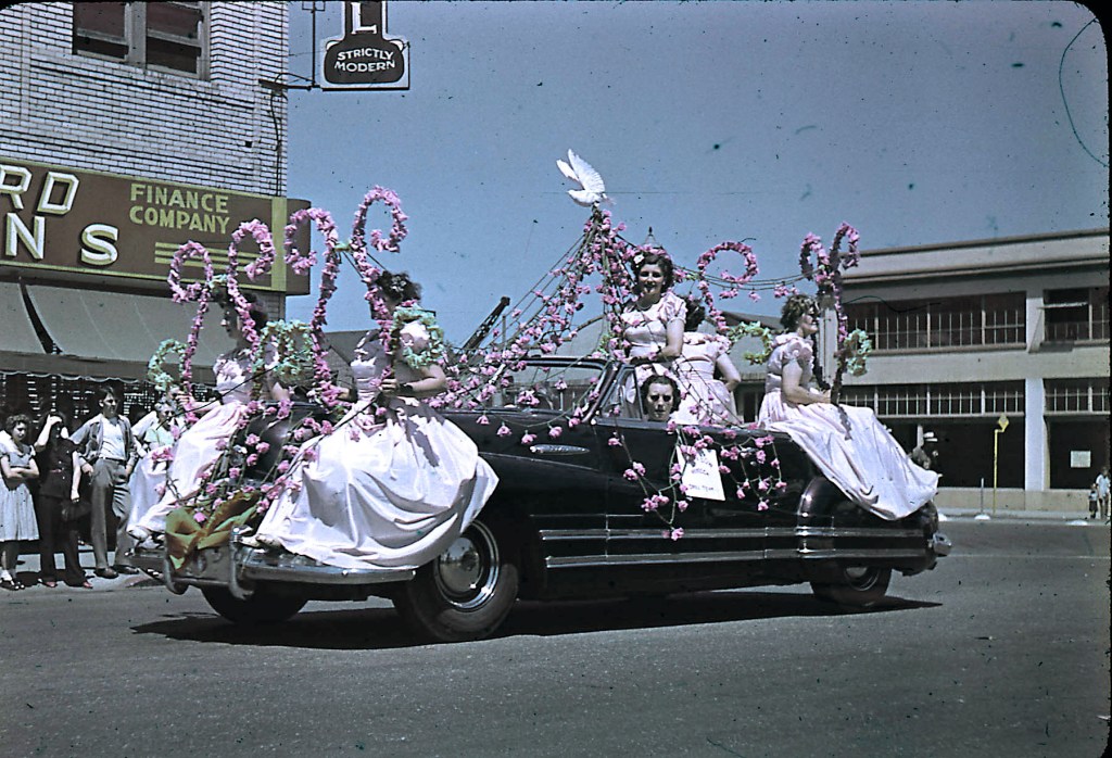
Seaboard Loans and Insurance Company downstairs at 248 E. Miner Avenue, Hotel upstairs. This building is no longer there, demolished in 2021.
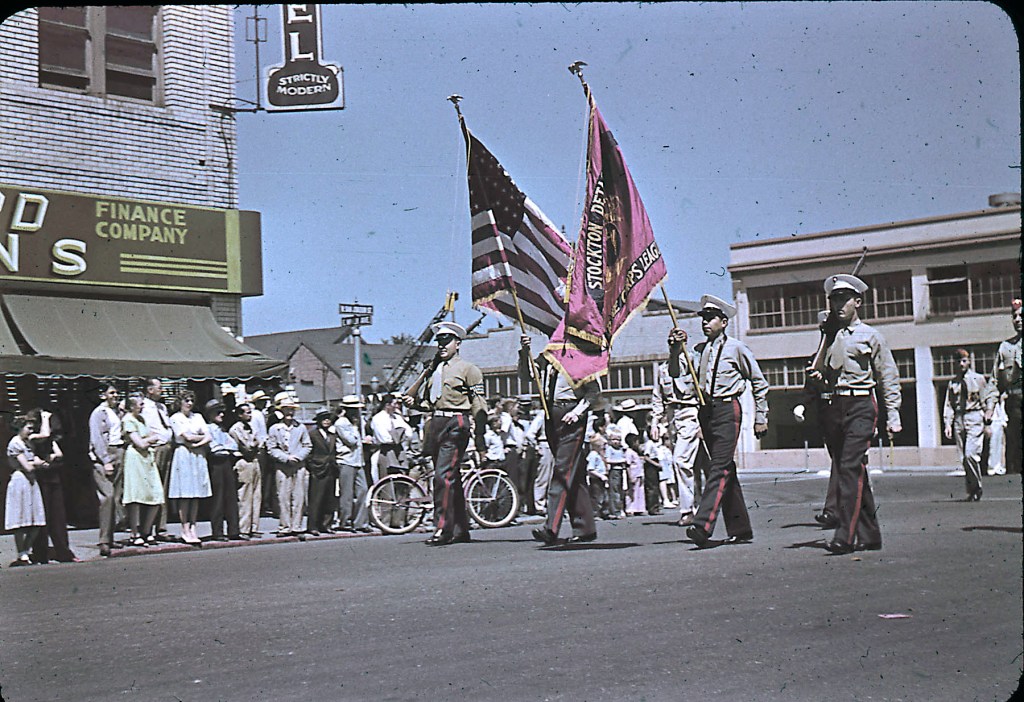
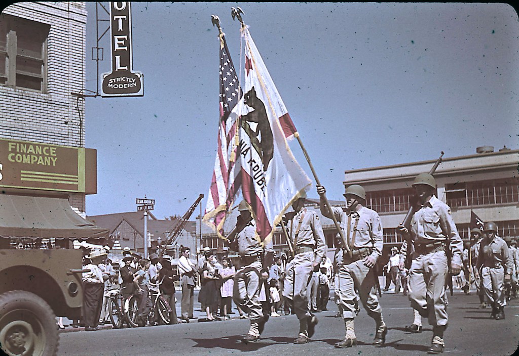
Army historians can probably educate me on the service branches in above images based on uniforms and insignas.
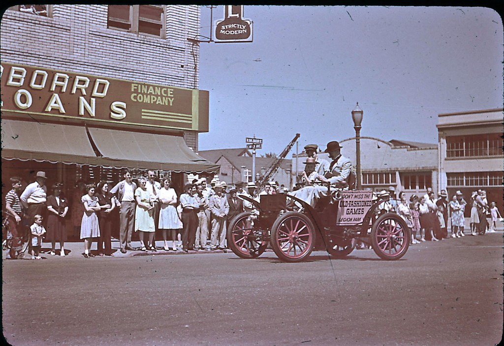
The building at 237 E. Miner Avenue was most likely vacant by 1947 (confirmed vacant in 1949) and 245 E. Miner Avenue was confirmed vacant in 1943 and 1949.
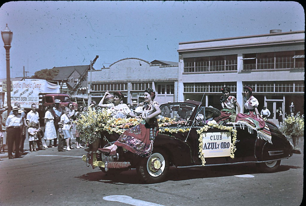
Before we move on from this location, next two images were presented in my 32nd blog post about images found in a 1944 Kodachrome slide box.
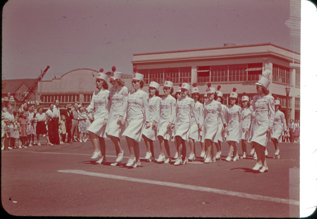
Few other locations were captured by Joel while photographing other participants.
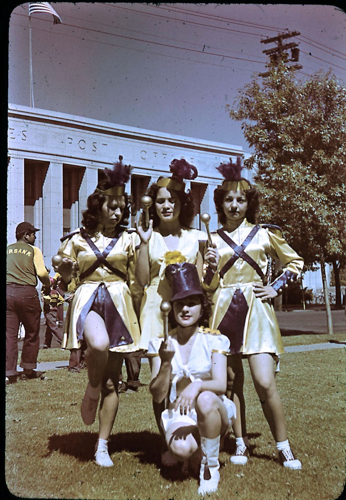
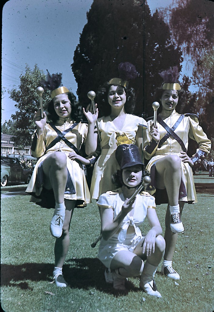
The 401 N San Joaquin Street building is currently “The Federal” building, built in 1932. The majorettes are posing in Fremont Square.

From this two image sequence, we can see that the parade turns onto N San Joaquin Street from E. Fremont Street.

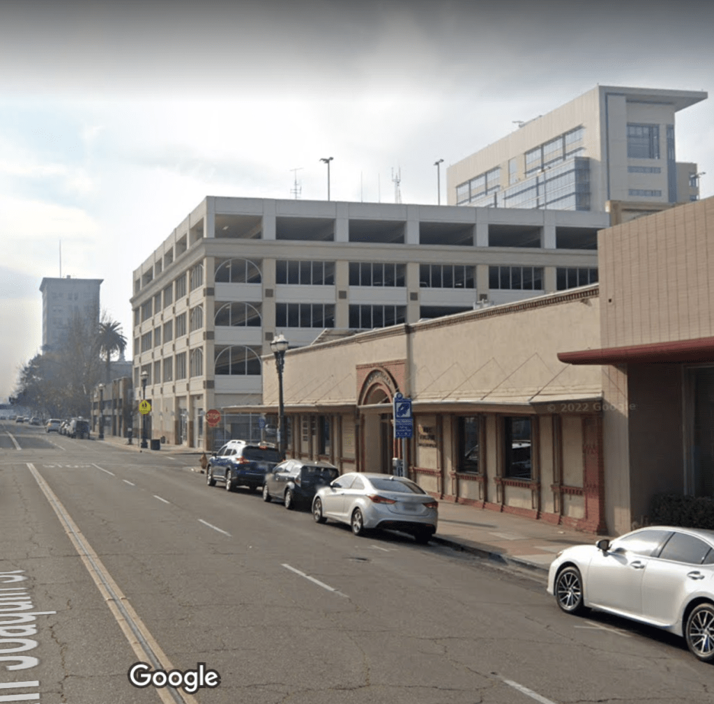
The building on the corner of 445 N San Joaquin Street and E Fremont Street is the Curnow Brothers Grocery and Bakery. Currently (2022) the El Concilio building sits there. See below Google Map image from 2007. Only item remaining is the power pole and the Federal Building.

There’s a lot more to unpack from the next image.

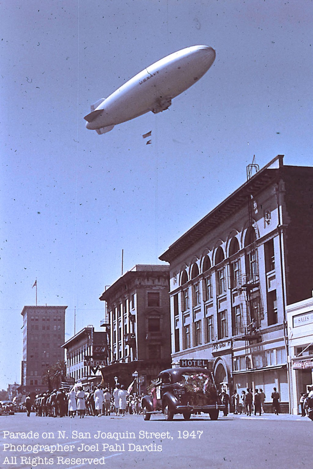
The far building at left is at 246 E. Main St, corner ot S. San Joaquin Street and E. Main Street, the former David Levinson’s Women’s Clothes, John Breuner Company Music Department and Bank of America.
The palm trees are in front of the old Court House (demolished), at the intersection with E. Weber Avenue.
The next building visible is not longer there in this state. It is currently the Zeiter Eye Medical Group business location. Only the ground floor remains.
The YMCA building (center photo) was at 137 N San Joaquin Street, currently the McCoy Garage.
The Hotel Simon used the upper floors at 201-215 N San Joaquin Street. The structure was built as the Simon House in 1906 after the Columbia House burned down. First floor tenants included a telephone office at 213 N. San Joaquin. In 1930, the Ross Collection Agency and the San Joaquin Valley Securities Company were the first floor tenants, but by 1950, the first floor was occupied by the State Employment Office.
Only the first floor of this once magnificent building remains, and is operational as law offices.
A Google map view anno 2022:
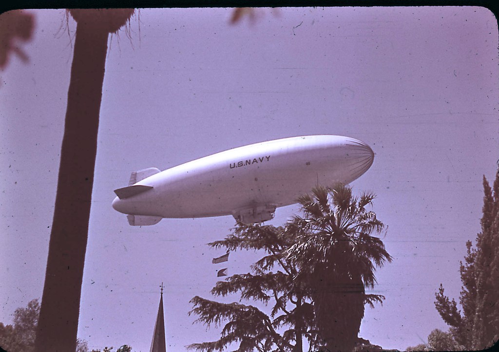
Joel had to photograph a closer-up of the Navy blimp overhead. This was at a different location. There’s a church steeple visible at the bottom of the image and there are quite a few palm trees and cypresses visible. (It is not St-Mary’s on Washington street.)
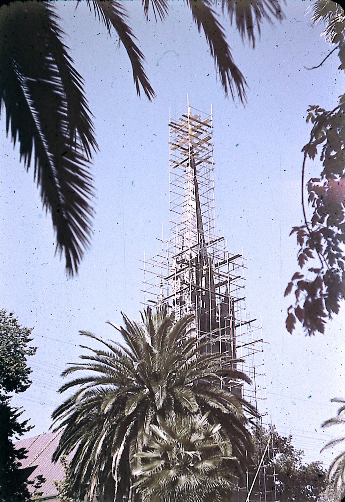
As for the St-Mary’s church, the steeple appears in scaffolding, so there should be a way to confirm the 1947 timeframe.
Most of these images were taken along North San Joaquin Street, Stockton.
The last image in this series is of a folk-dance couple. Unknown location, even event timing is not certain.

There are more color slides to come from the same era, different locations.
Cheers !
